Places to Canoe/Kayak
Chatfield Reservoir - Platte River
Pictures and Information
Location
Chatfield Reservoir is located 19 miles NE of Denver.
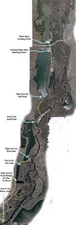
Map of Chatfield Reservoir
Description
Chatfield Reservoir is probably the largest and most scenic lake within very close proximity to the city of Denver. For a description of this reservoir see the Chatfield Reservoir page. This trip is by far my favorite spot near the city. It offers .6 miles (or more if you want) of big lake canoeing, 1.5 miles of small pond canoeing, 3.3 miles of platte river canoeing, and hiking for 1.2 miles. Even on the weekend there are hardly ever people canoeing or kayaking this part of the Platte River. There is no development along this part of the platte. Although this trip requires hiking with your canoe at a few different points for a total of 1.2 miles.
It is a relatively easy hike on decent trails. There are no trees across the river here but there are a few rocks. Most of the rocks can be seen but a few are just under the surface. All in all I rate this as a slightly challenging run. A beginner can do it and will have a great time, but should expect to get wet and wear a life jacket.
Warnings, Tips, & Other Details
Chatfield Reservoir is a good sized lake and if the winds are forecasted to be over 15 MPH then you don't want to be out in the main part of the lake. There is no river gauge for this part of the platte river. The only way to find out if the river is high enough to run is to go out there and see. If you go to the Waterton Road bridge (where the put in is at) and look over the east side of the bridge and see rocks and boulders protruding out of the water all the way accross the river, it's to low. The river is always high enough in the spring, but once the middle of summer comes, it's best to wait until a few days after a good rain.
Pictures
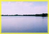
Small pond next to Chatfield Reservoir
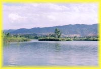
Island in the middle of the pond adjacent to Chatfield Lake
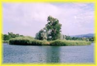
Group of tiny islands that are in a small pond that is connected to the pond adjacent to Chatfield Reservoir by way of a narrow 15 foot channel
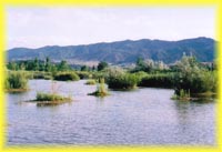
Another small pond next to Chatfield Reservoir
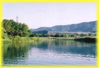
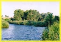
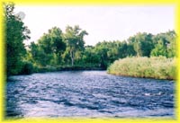
Platte River where it runds alongside the ponds next to Chatfield Reservoir
