Places to Canoe/Kayak
Honeymoon Island
Pictures and Information
Location
Honeymoon Island is about 10 minutes north of Clearwater, FL in Dunedin. It can be reached by land via the DUnedin Causeway.
Map of Honeymoon Island
Description
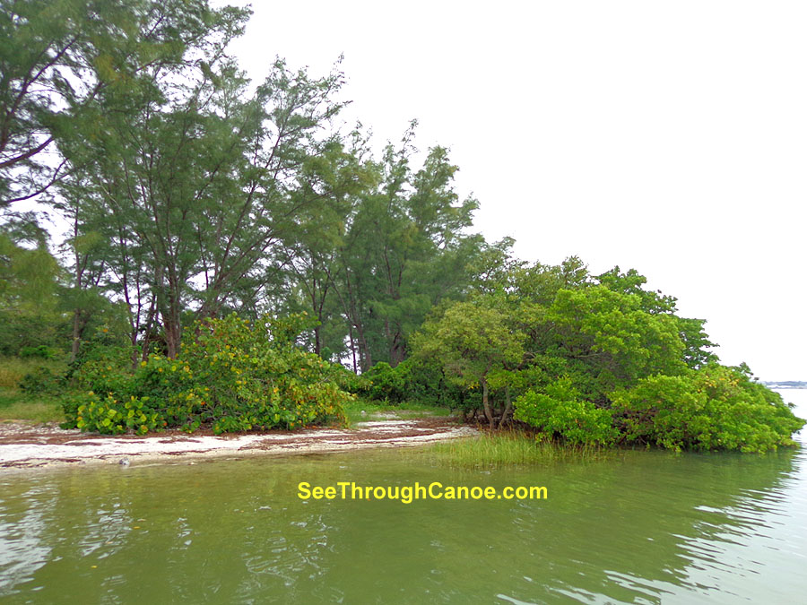
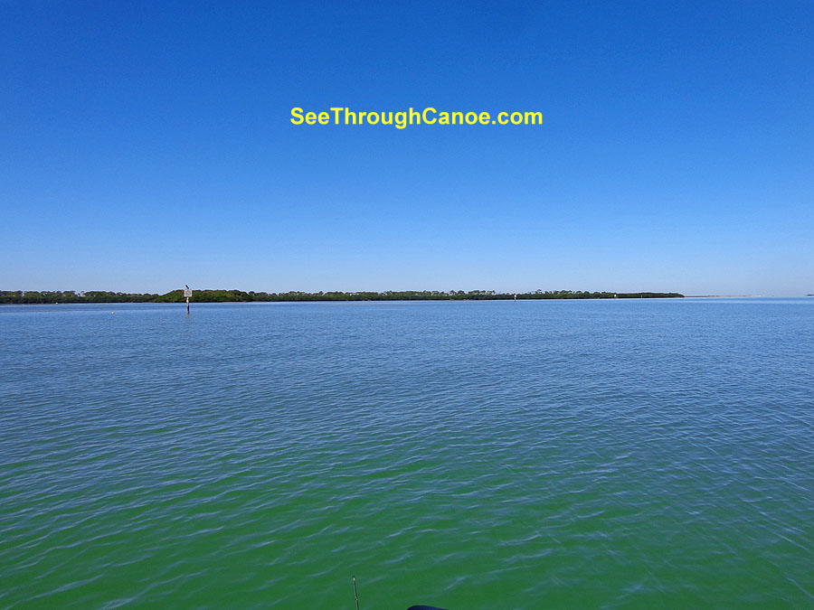
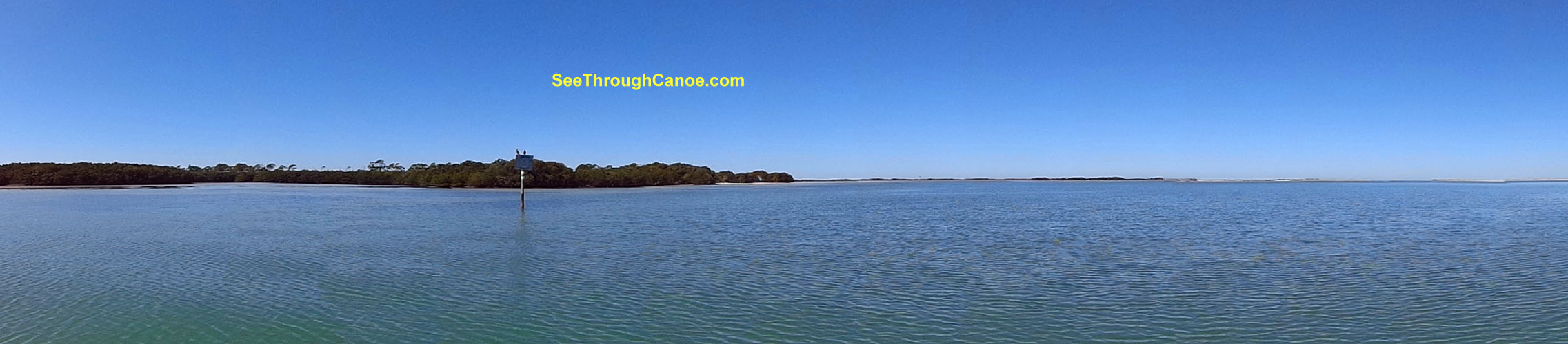
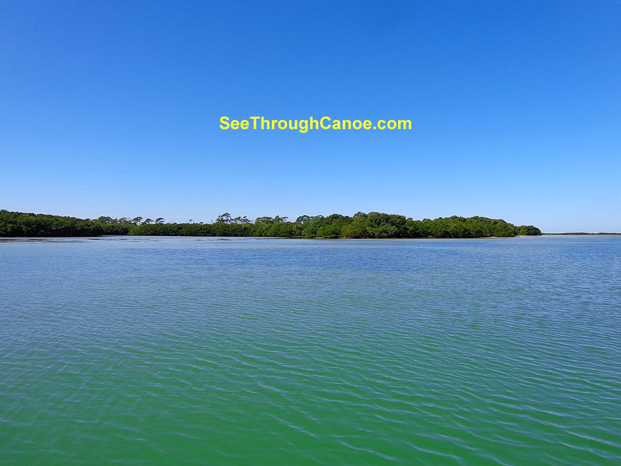
Honeymoon Island is a State Park in Dunedin, FL. The island is about 3 miles long and has a few builidings on it's southern tip. The rest of the island
is undeveloped. On the east side of the island is St. Joseph sound. On the west side is the gulf. The south end of Honeymoon Island is seperated from Caladesi Island by
Hurricane Pass. The north end of the island is seperated from Three Rooker Island by another pass. Most of the water in the sound east of the island is only about 5 feet deep. There are some deep channels, but for the most part, it's only about
3-5 feet deep up to about a half mile east of the island. It then drops off to about 12-15 feet in most part of the sound here.
There are a group of small spoil islands (each
one only about 500 feet across) about one mile
east of the island in St Joseph sound.
The park and surrounding islands are a great place to see manatee and dolphin. The area is also a sanctuary to many bird species.
It's a great place to canoe or kayak and there isn't much boat traffic on the weekdays. The park itself has a concession and restaurant on the south end of the island. Canoes or
kayaks can be rented at the concession. There is also a playground, nature trails, picnic areas and restrooms at the park.
The fishing in the area is very good for a variety of species such as Spanish Mackerel, Flounder, Speckled Trout, Redfish, Sheepshead, Tarpon and others.
Pictures
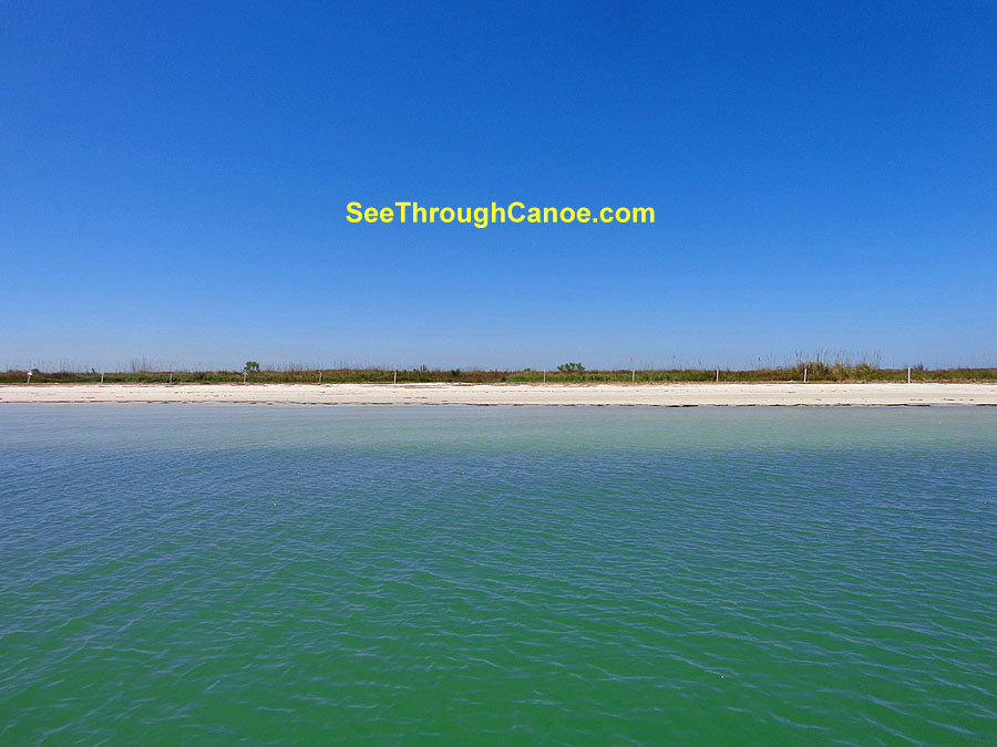
Honeymoon Island
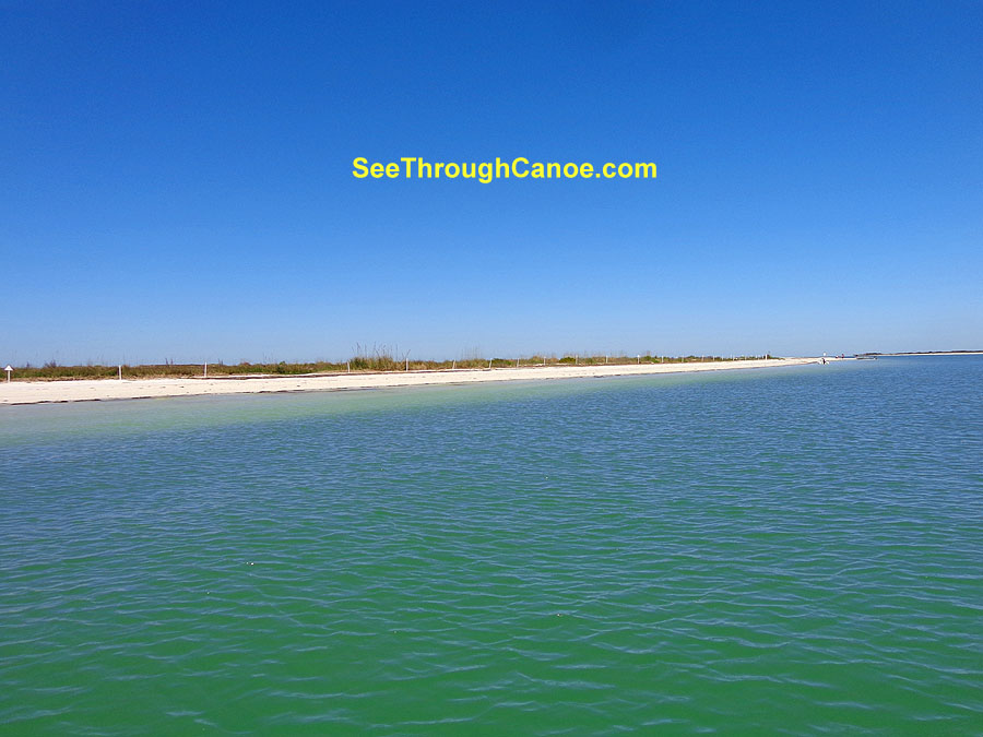
Honeymoon Island Beach
Group of spoil islands in St. Joseph Sound
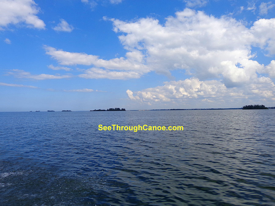
One of the spoil islands in St. Joseph Sound
