Places to Canoe/Kayak
Platte River Between Fort Lupton & Platteville, CO.
Pictures and Information
Location
This stretch of the Platte River is located 30 miles NE of Denver.
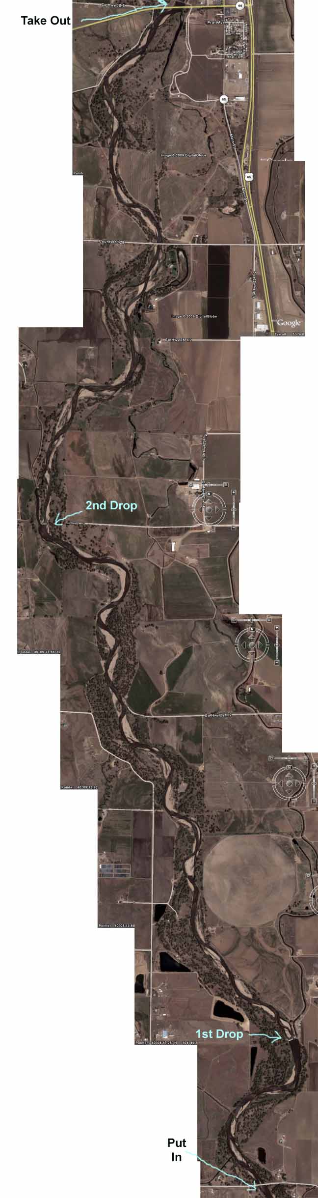
Map showing put in spot for this part of the Platte River
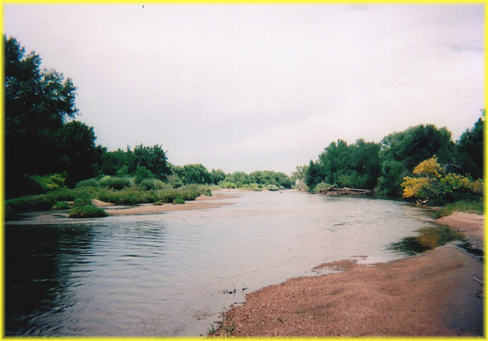
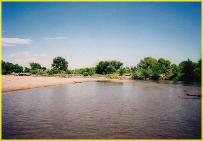
Description
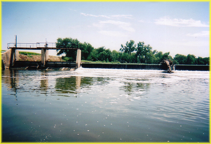
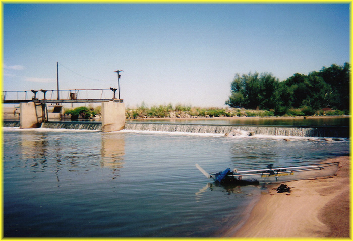
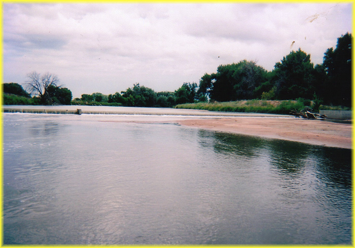
This is an easy run and can be done by a beginner. This part of the Platte river is bordered with large sandy banks. The put in at highway 18 is a bit tricky because of a high embankment making it tricky to get down into your canoe or kayak You may want to add a few extra miles to your trip by putting in at highway 52 in Fort Lupton. The take out is easy access. There are rarely other canoers or kayakers on this stretch of river. There are 2 different 3 foot drops that you will probably want to portage around.
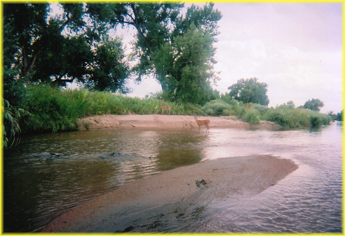
There are quite a few soft shell turtles, a very interesting looking species of turtle in this part of the Platte. You will also frequently see bald eagles here. I frequently see mink here as well.
Warnings, Tips, & Other Details
This stretch of the Platte is 8.2 miles and will take about 4 1/2 hours to paddle at a relaxed pace when the water is flowing at 250 CFS. If you don't have a second vehicle, or you just want more exercise, you can ride a bike down highway 85 and highway 25 1/2 to the put in. The bike ride from the Highway 66 take out spot in Platteville to the Highway 18 put in in just north of Fort Lupton is an easy ride that will take an 45 minutes at a good pace. The bike ride will be noisy as there is no bike path so you will be riding on the side of the road. There is plenty of space to the "right of the line" so vehicles will not be flying by right next to you. The take out spot is on the left just after the Highway 66 bridge and it's very hard to miss. The CFS must be above 200 to do this run on you will constantly scrape bottom. A CFS of 400-500 is ideal and as long as it's below 700 it's an easy trip. There are 2 different 3 foot drops that you will probably want to portage around. Portage around these drops is not easy.
Real time river gauge for this part of the Platte River
Where to Park
Put In - Take highway 85 to highway 18 (2.6 miles north of Fort Lupton). Go west on highway 18 .5 miles and park on the left, shortly after the bridge.
TaKe Out - Take highway 85 to highway 66 in Platteville. Go west on highway 66 for .6 miles. Turn right onto the dirt road and follow it around to the right. The road dead ends close to the river.
Pictures
Deer wading in the Platte River


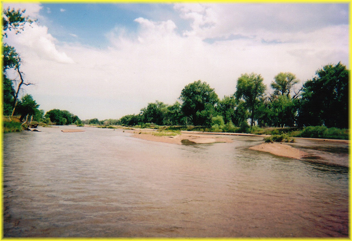
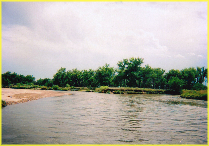

Platte River running through Platteville, CO