Places to Canoe/Kayak
Garnier Bayou
Pictures and Information
Location
Garnier Bayou is in Fort Walton Beach, Florida and is bordered on it's east side by Longwood road
Map of Garnier Bayou
Description
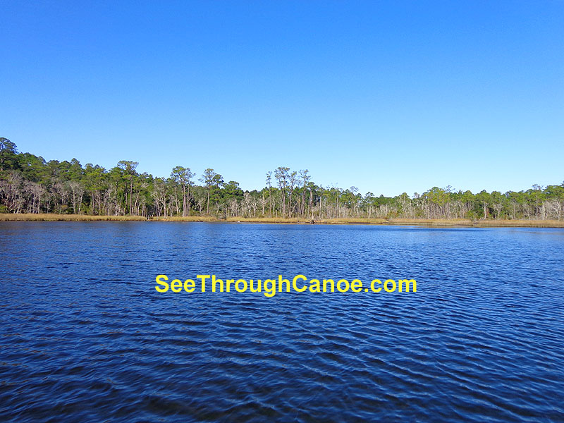
Garnier Bayou is a large bayou compared to the neighboring Chula Vista Bayou or Don's Bayou. It is one of the only bayous
in the area that does not have houses all around it. Almost the entire back half of Garnier Bayou is not developed because it is part of the
Eglin Air Force Base reservation. This is one of the best places in the area to go canoeing or kayaking, and it is rare to see anyone up in the creeks that lead into it.
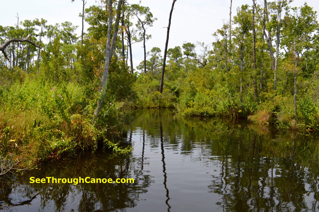
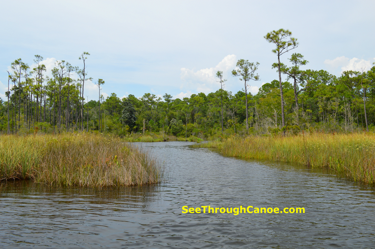
There are at least 3 small streams that lead into the end of Garnier Bayou. One is Garnier Creek, which leads into the east side of the end of the bayou and splits into two branches just before it empties into the bayou. One of these branches is very narrow (about 8 feet), but deep for it's width (about 3-8 feet). This creek is spring fed and has cool, clear water. The other creek
that leads into the end of the bayou partially originates at Timber Lake and is called Lightwood Creek. This creek also branches in 2 just before it empties into the west side of the end of Garnier Bayou. The end of the bayou has a mud
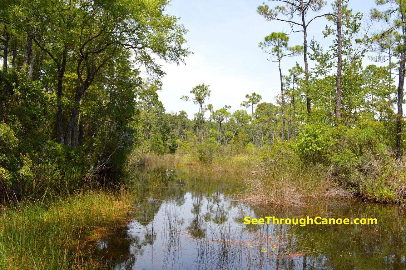
bottom and is very shallow in some places so if you're in anything bigger than a canoe or a kayak be carefull not to bottom out. Most of this bayou
is about 12 feet deep.
Pictures
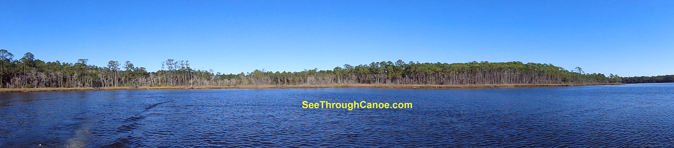
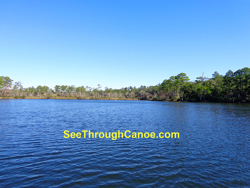
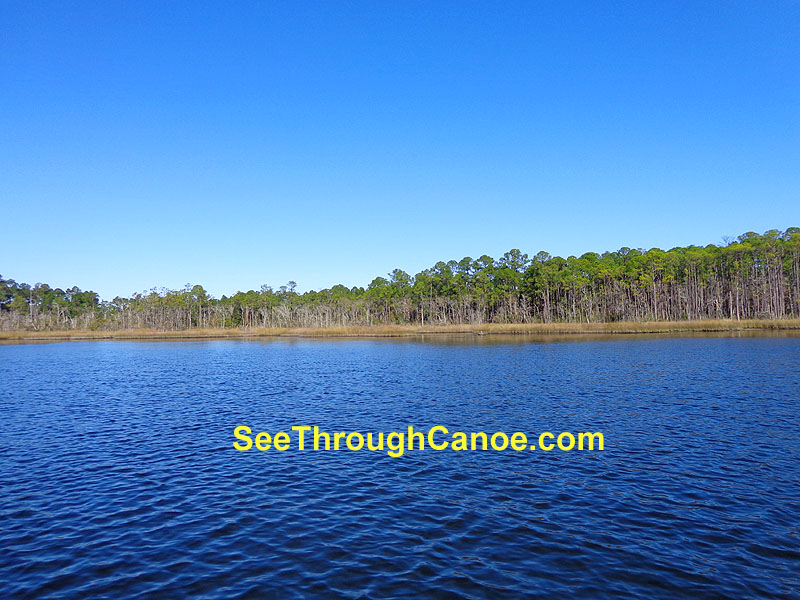
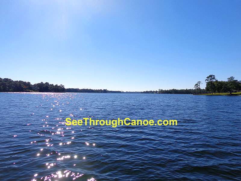
Views from the end of Garnier Bayou
Garnier Creek
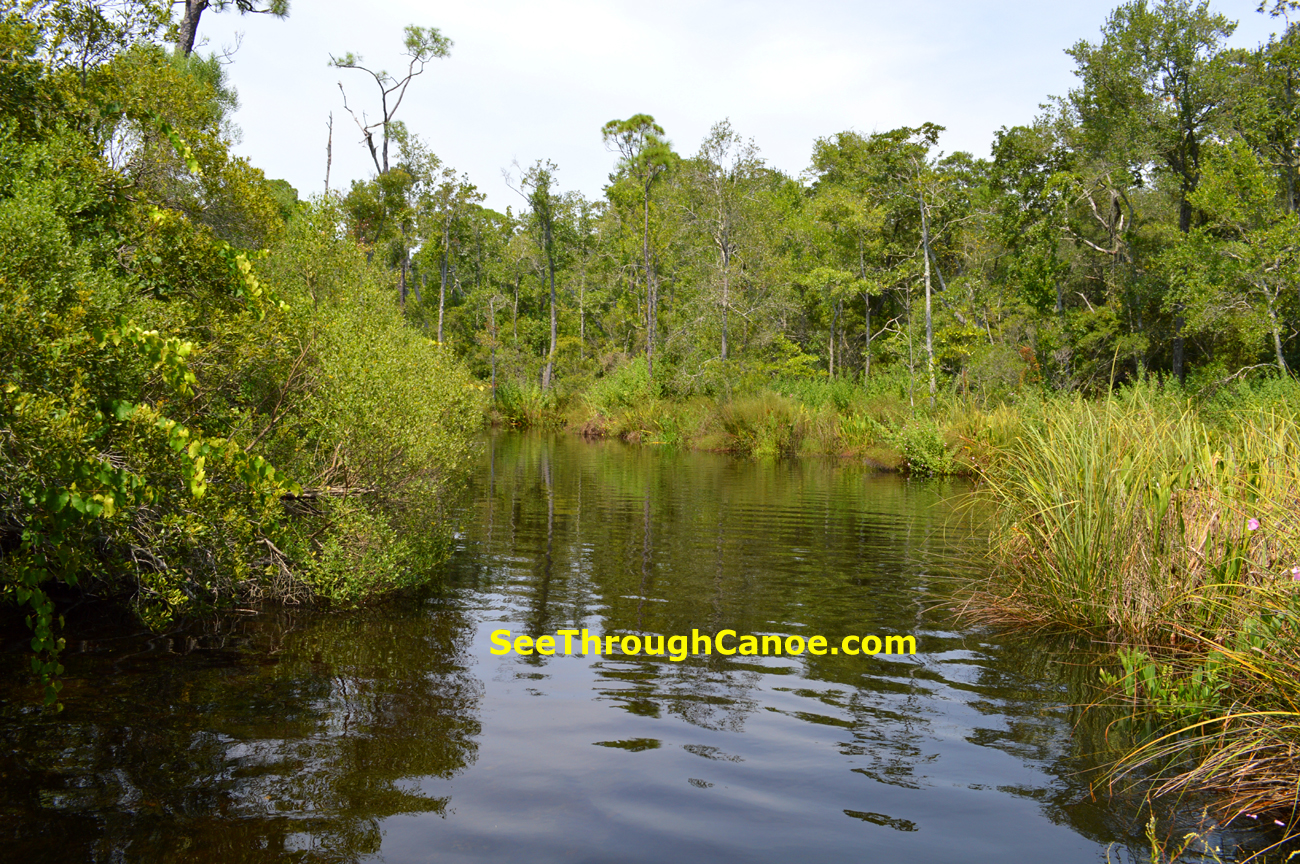
Lightwood Creek
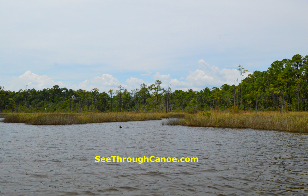
Panoramic view of the end of Garnier Bayou